Thought for a couple of seconds⛈️ Illinois Storm Forecast – Saturday, July 4, 2026 🇺🇸
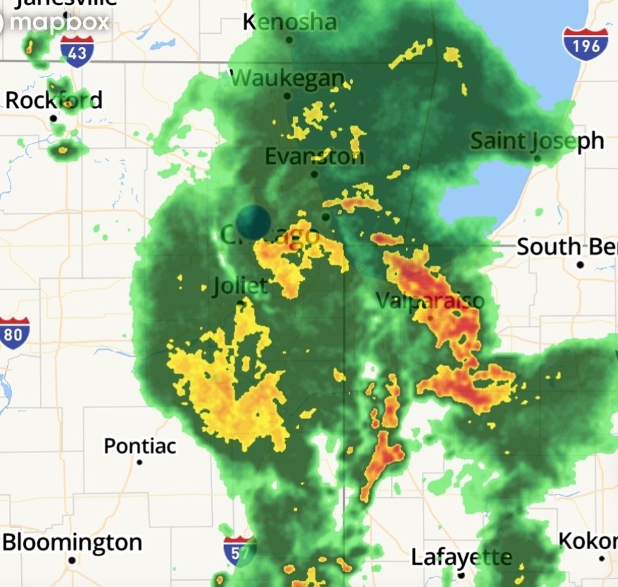
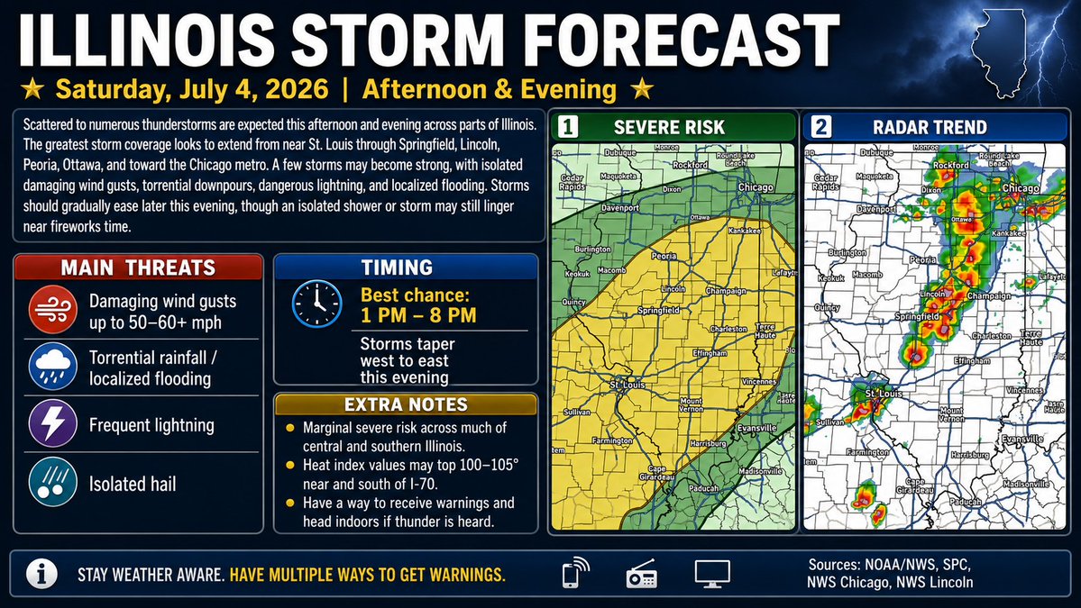
Scattered thunderstorms are expected across Illinois this afternoon and evening, with the main storm corridor running from the St. Louis area northeast through Springfield, Lincoln, Peoria, Ottawa, and toward the Chicago metro. 🌧️⚡The best chance for storms looks to be from about 1 PM to 8 PM, with storms gradually tapering off from west to east later this evening. A few storms could become strong to locally severe, with the main threats being:💨 Damaging wind gusts around 50–60 mph
🌧️ Torrential rainfall
⚠️ Localized flooding
⚡ Frequent lightning
🧊 Isolated hail
Much of central and southern Illinois is under a Marginal severe risk, meaning isolated severe storms are possible. Northern Illinois could also see storms this afternoon and early evening, especially near and south of I-80. Some areas may get a break in time for fireworks, but an isolated storm could still linger. 🎆Also, it will be hot and humid, especially near and south of I-70, where heat index values may reach 100–105°. 🥵 Have multiple ways to receive warnings and head indoors if thunder is heard.
#ILwx #IllinoisWeather #SevereWeather #Thunderstorms #ChicagoWeather #CentralIllinois #StLouisWeather #July4thWeather #WeatherAlert #StormForecast #MidwestWeather #FireworksForecast